-40%
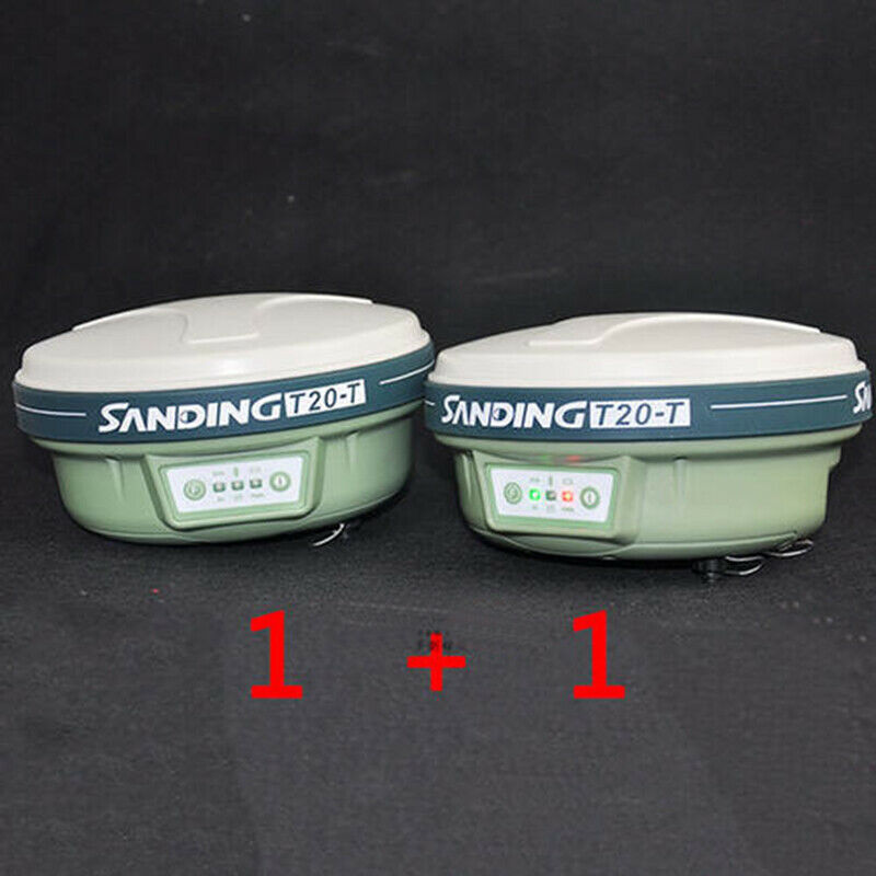
SANDING T20T GPS - GNSS RTK a mobile station with a base station
$ 2613.6
- Description
- Size Guide
Description
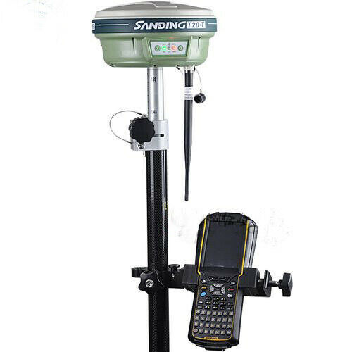
Configuration list:Host head *2
Screw transmitter/receiver antenna *2
Lithium battery *4
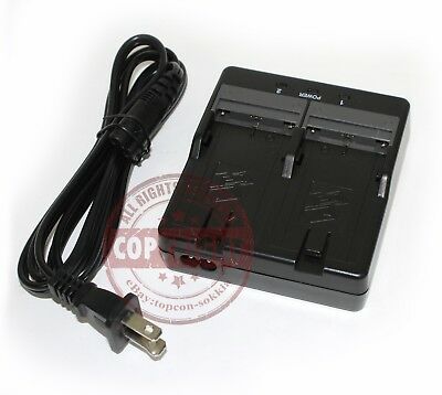
Lithium battery charger 1
Cases*2
X3 handbook *1
Handbook data line * 1
Handbook bracket one*1
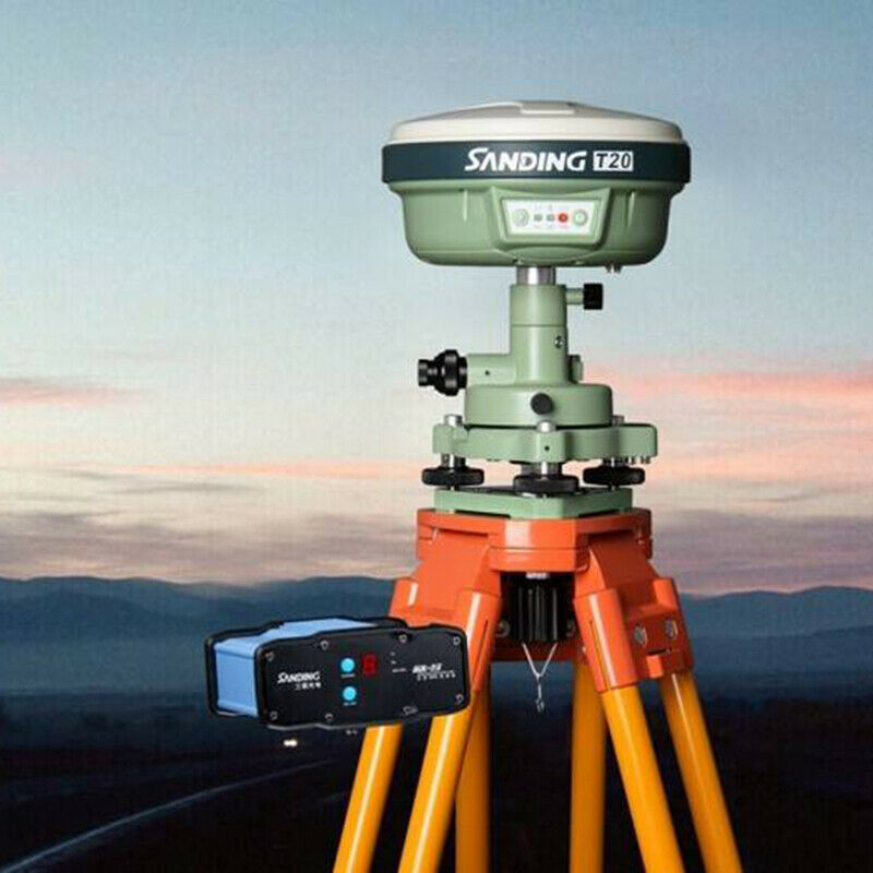
Radio 35W* 1
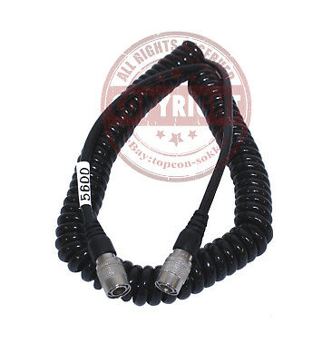
Multipurpose cable*1
GPS carbon fiber rod*1
Sanding T20T adopts Trimble BD970 motherboard and Maxwell 6 measurement technology, which brings T20T unique high anti-interference performance.
Advanced elevation-enhancing calculation technology makes the elevation measurement outstanding.
Up to 220 channels, supporting current dual-star applications, and more future-oriented multi-star systems.
Imported industrial-grade handbook, full-alphanumeric keyboard, WinCE / Windows operating system, support for a large number of expansion CF cards, IP65 waterproof and dustproof design, resistance to 1.5m natural drop. IP65 waterproof and dustproof design, resistant to 1.5m natural drop. Ding RTK T20T
Product Features
Compact and lightweight industrial rugged design
Sanding T20 has a compact body and weighs only 0.8kg. The internal structure is optimized. The GPS / GNSS four-quad point receiving antenna, strict electronic shielding, and special structure are all domestic advanced technologies, which effectively prevent photoelectric crosstalk. Multi-path effect, stronger star search ability. The data link, Bluetooth, and dual-band antennas are integrated into a compact all-in-one wireless receiver unit, which is specially designed for industrial IP67-class three-proof defense in harsh outdoor conditions.
UHF radio, GPRS / CDMA technology
Sanding T20 has a stable built-in UHF receiving station, and it also has GPRS network CDMA network modules coexisting at the same time. It is easy to operate and switch freely. A small card will take you to enjoy a stable, efficient and accurate network measurement world. Travel the web and measure easily.
Seamlessly compatible with CORS support GLONASS
Regardless of whether you choose to connect the Sanding continuous operation reference station CORS system or other brands of CORS systems, Sanding T20 can achieve seamless access and mature applications. At the same time, in the harsh receiving environment, it can combine GLONASS observation data with GPS data to provide more satellite information for positioning calculation and improve positioning reliability.
Powerful RTK operating software
Sanding T20 is equipped with imported industrial-grade handbook, bluetooth data transmission technology of German origin.
Benefiting from the great advantages of Sanding Software in the industry, Sanding RTK software system continues to refine the software functions while maintaining strong functions, humanization and diversity, and tailors professional mapping software for measurement applications in different industries.
Receiver accuracy index:
Synchronous RTK level accuracy: ± 1cm + 1ppm
Synchronous RTK vertical accuracy: ± 2mm + 1ppm
Static and fast static plane accuracy: ± 2.5mm + 1ppm
Static and fast static elevation accuracy: ± 5mm + 1ppm
Code differential positioning accuracy: 0.45m (CEP)
Single machine positioning accuracy: 1.5m (CEP)
Receiver section
﹡ 220 channels
-GPS: L1 C / A, L2E, L2C, L5
-GLONASS: L1 C / A, L1 P,
L2 C / A (GLONASS M only), L2 P
-SBAS: L1 C / A, L5
GIOVE-A: L1 BOC, E5A, E5B, E5AltBOC
GIOVE-B: L1 CBOC, E5A, E5B, E5AltBOC
﹡ Advanced Trimble Maxwell 6 measurement GNSS technology
﹡ GNSS pseudo-range measurements obtained with high-precision multi-correlation factors.
﹡ Unfiltered, unsmoothed pseudorange measurement data with low noise, low multipath effects, low time zone correlation, and high dynamic response
﹡ Low-noise GNSS carrier phase measurement <1mm accuracy (1Hz bandwidth)
﹡ S / N ratio is reflected in dB-Hz
证实 Proven low elevation tracking technology
Initialization time: generally <10 seconds
Initial reliability> 99.9%
Supports multiple satellite navigation systems
Stable long-distance RTK settlement capability
Built-in GPRS / CDMA network communication part
Optional GPRS or CDMA communication service, international universal, automatic network login, compatible with CORS system intervention
Physical index
Size: 96mm high, 184mm diameter, sealing rubber ring 60mm high
Weight: 1.2kg (including battery)
Single battery capacity: 2300mAH
Voltage: 7.2V, continuous working time of single battery is 6 ~ 8 hours
Can be connected with DC power, input range 12 ~ 15V
Shockproof: sturdy and lightweight shell, resistant to natural fall of 2 meters
Waterproof: Soaked 1m underwater
Dust-proof: completely prevent dust from entering
Rating: IP67
working environment
Working temperature: -40 ℃ ~ + 75 ℃
Storage temperature: -55 ℃ ~ + 85 ℃
Handbook parameters:
Waterproof and dustproof: IP65 level
Earthquake resistance: 1.5m natural drop resistance
Processor: PXA 270 520MHZ (optional 624MHZ)
Memory: 128MB, (optional 256M) support SD card,
CF card, limited edition expansion
Working temperature: -20 ℃ to + 50 ℃
Storage temperature: -40 ° C to + 60 ° C
Display: 480 × 640 resolution, 3.6in, Full VGA, TFT color LCD display
Wireless communication: Bluetooth wireless communication
Data transmission: SD card, USB transmission
